New Documentary: Bringing the Forma Urbis Romae to Life in 3D
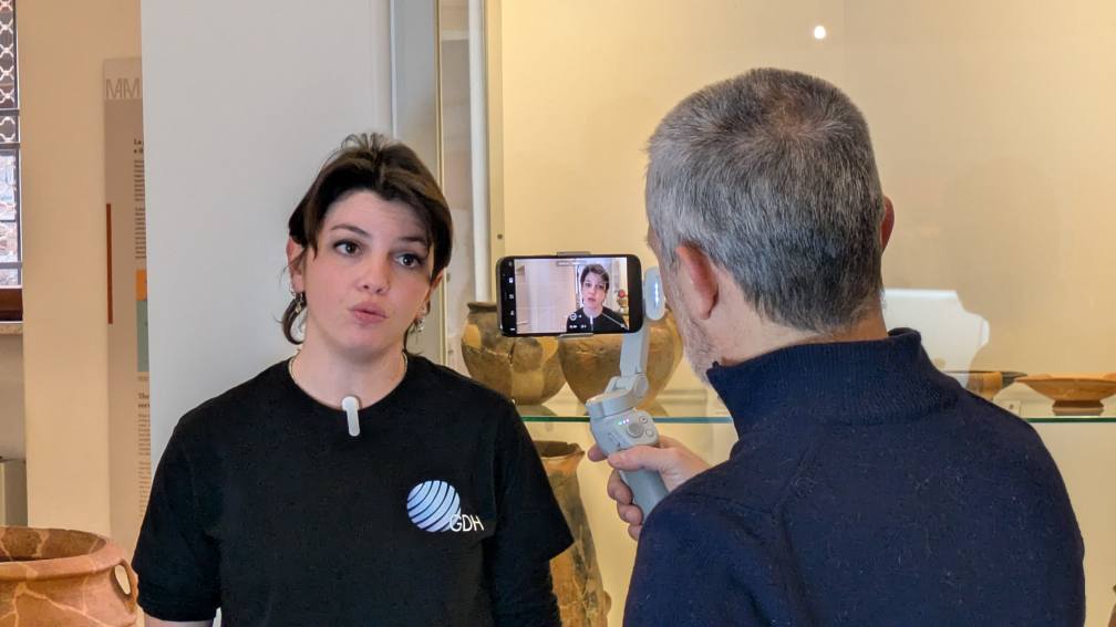
We’re excited to share our newest short documentary, showcasing Global Digital Heritage’s work on the 3D digitization of the legendary Forma Urbis Romae — the ancient marble map of Rome created in the early 3rd century CE.
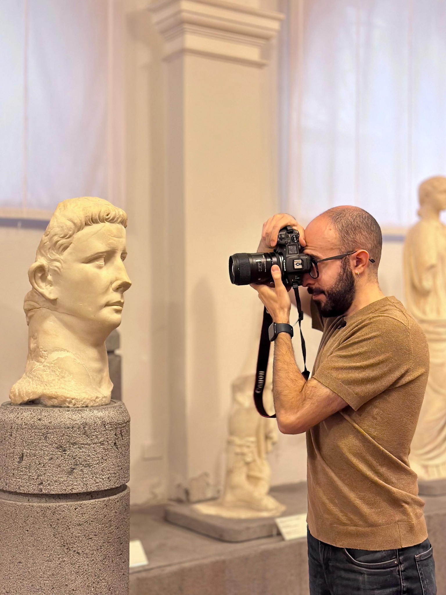
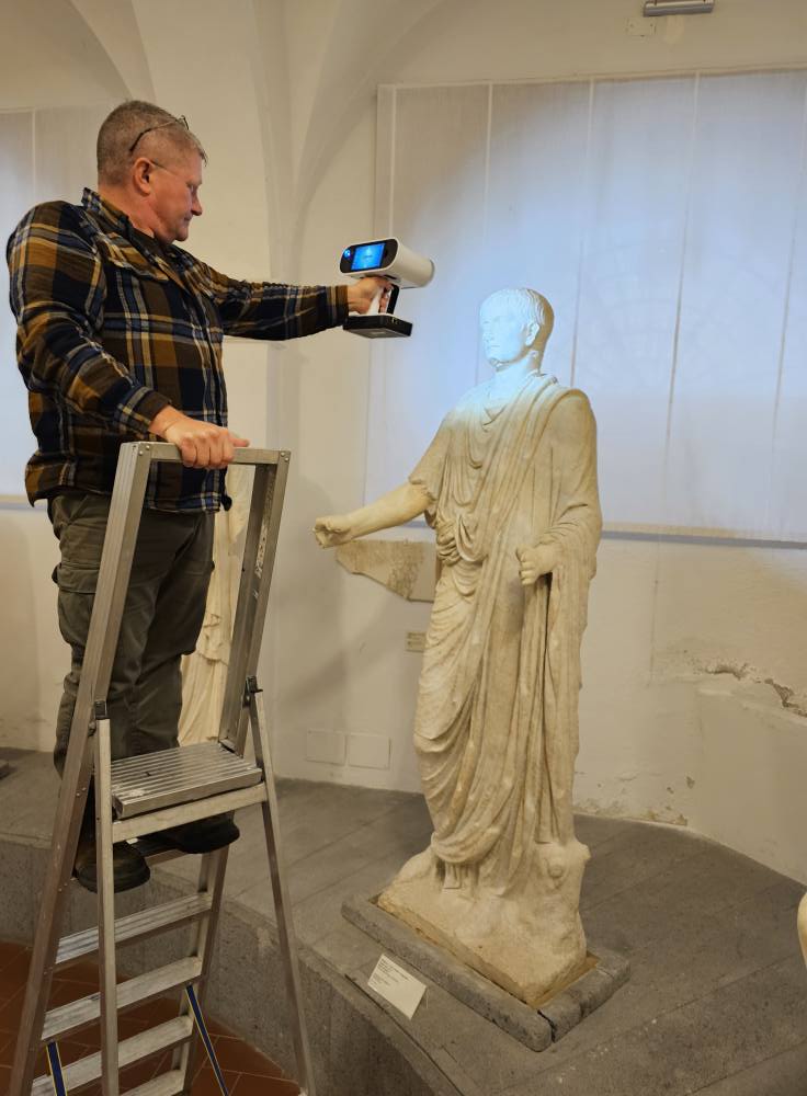
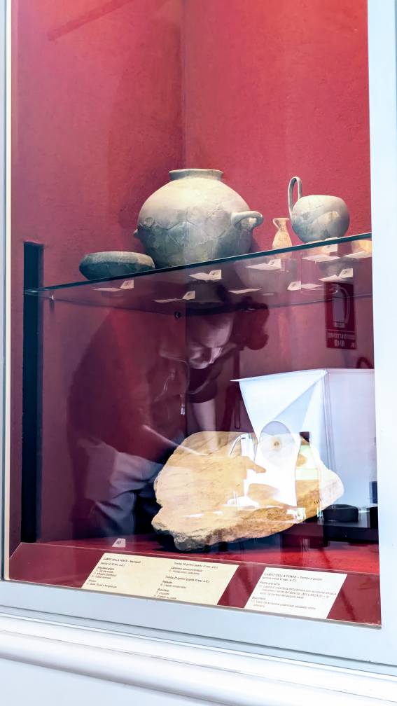
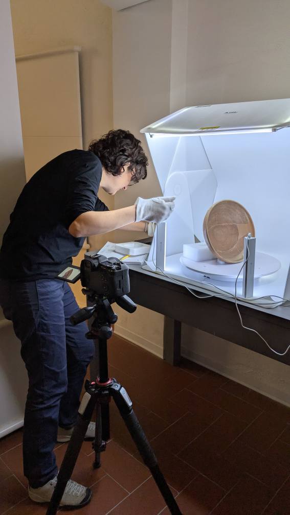
This immersive piece takes viewers behind the scenes of our fieldwork in Rome, where our team employed high-resolution photogrammetry and advanced imaging techniques to capture the surviving marble fragments of this extraordinary artifact. The Forma Urbis is more than a map: it is a unique window into the architectural fabric, urban planning, and daily life of imperial Rome.
This project, done in collaboration with Rome’s Museo della Forma Urbis (Sovrintendenza Capitolina) continues GDH’s mission to preserve and share the world’s cultural memory through cutting-edge documentation technologies. We’re proud to contribute new digital resources that support scholars, museums, and the wider public in exploring one of antiquity’s most important monuments.
🎥 Watch the documentary and discover Rome as you’ve never seen it before — carved in stone, reborn in 3D.
02.12.2025
Uncovering Hidden Iron-Age Towns with LidArc: A New Chapter in African Heritage
A groundbreaking collaborative initiative between University of Cape Town (UCT), South African Heritage Resources Agency (SAHRA), and Global Digital Heritage Afrika (GDHA) has revealed, with unprecedented clarity, the remnants of pre-colonial urban landscapes once inhabited by Basotho and Batswana communities in southern Africa.
At the heart of this project lies the power of the LidArc initiative, a US$10 million project that GDH is developing during the next 5 years all around the world. It aims to expand LiDAR access for heritage education and research, including data-sharing with descendant communities. GDH has also used the technology at global heritage sites such as Petra in Jordan and the tunnels beneath the pyramids of Guatemala.
Why LiDAR Matters
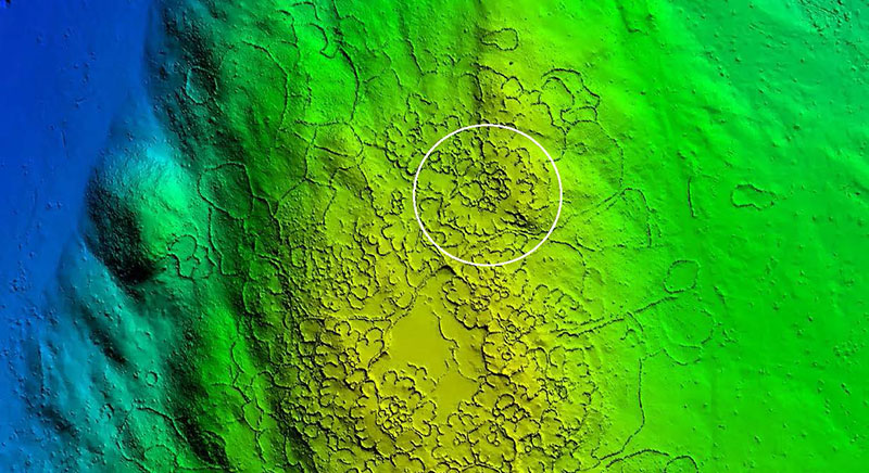
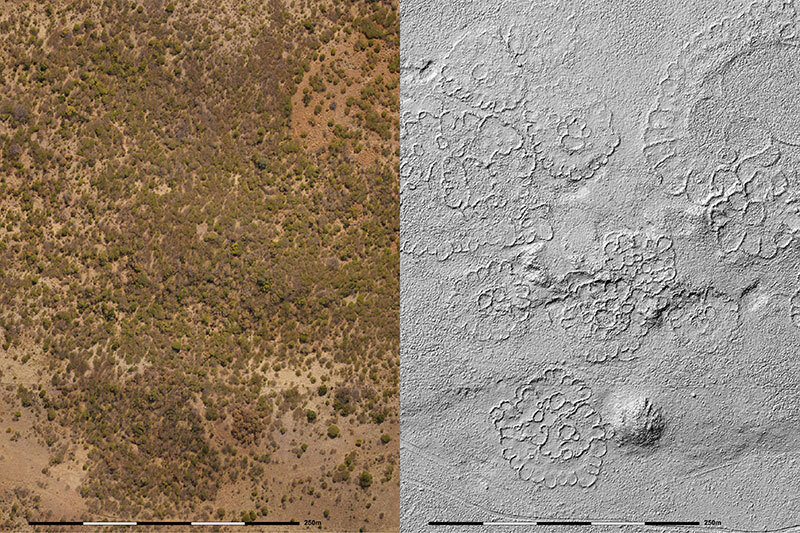
For decades, dozens — even hundreds — of Iron-Age stone-walled villages across what is now Gauteng, North West, Limpopo, Free State and Mpumalanga provinces were known only from fragmentary archaeological work and oral traditions. However, dense bush and overgrowth made comprehensive mapping impractical. LiDAR changes the game: it lets researchers “see through” vegetation, reconstruct settlement layouts, and visualize entire human landscapes at once.
In the initial survey alone (covering ≈ 26 km²), LiDAR imagery already revealed patterns invisible from satellite photos or on-the-ground survey — showing the true scale of the towns, their spatial organization, and even hints of social-economic structures centered around cattle and metallurgy.
What Are We Seeing — Rediscovering Ancestral Towns
Some of the sites under investigation include towns such as Molokwane and others, dated roughly between 1770 and 1830. Based on the LiDAR-derived layouts, archaeologists can now estimate population sizes — for example, Molokwane may have housed between 7,000 and 12,000 people.
Beyond simple population numbers, the new maps highlight complex aspects of social life: clusters of homesteads arranged around cattle enclosures, semi-circular back-courtyards, paths linking households, and the former expanse of what were once thriving villages.
More broadly, these towns were not isolated hamlets but components of a widespread settlement network across southern Africa. The ability to visualize tens of thousands of households across thousands of sites offers a transformative perspective on pre-colonial urbanization in the region.
Implications for Heritage, History, and Digital Archaeology
For heritage research and education, the LiDAR-driven reconstructions mark a paradigm shift. As UCT archaeologists note, we can now reinterpret social, economic, and political dynamics of 18th–19th century southern Africa — especially systems based on cattle economies, metallurgy, and trade — with far more precision.
For descendant communities, the mapping gives visibility and voice to ancestral landscapes long obscured by natural regrowth or modern development. As GDHA director and SAHRA representatives emphasize, this work is “not just about maps,” but about reclaiming ancestral heritage and making it accessible — digitally and publicly — for future generations.
From the perspective of digital heritage, the project is a clear example of how emerging technologies (LiDAR, 3D mapping, data sharing) can democratize the study of ancient societies — not only in globally famous regions like the Mediterranean or Mesoamerica, but also in Africa, where histories have long been undervalued or under-studied.
What’s Next
The initial LiDAR coverage — though revealing — covers only a fraction of the region’s former settlement zones. The team behind UCT, SAHRA and GDHA aims to expand the mapping over the coming years, with an investment of tens of millions of dollars to broaden LiDAR access for heritage research and education.
As this unfolds, the integration of LiDAR data with on-the-ground archaeology, oral histories, and community engagement promises a richer, more inclusive reconstruction of southern Africa’s past — one where long-lost towns and communities are re-imagined, their stories told, and their legacy preserved.
21.11.2024
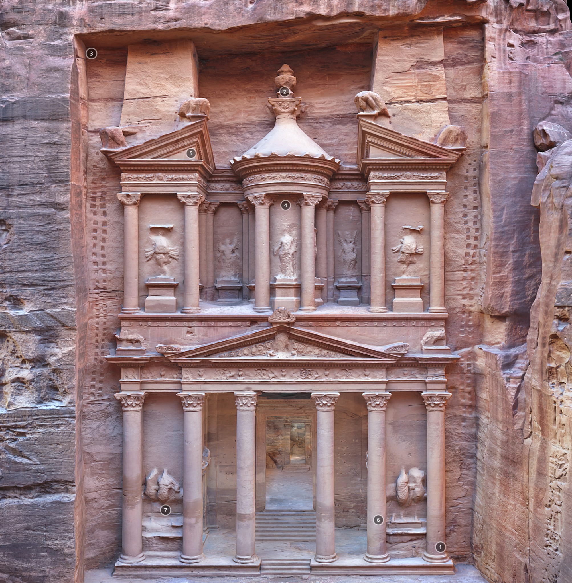
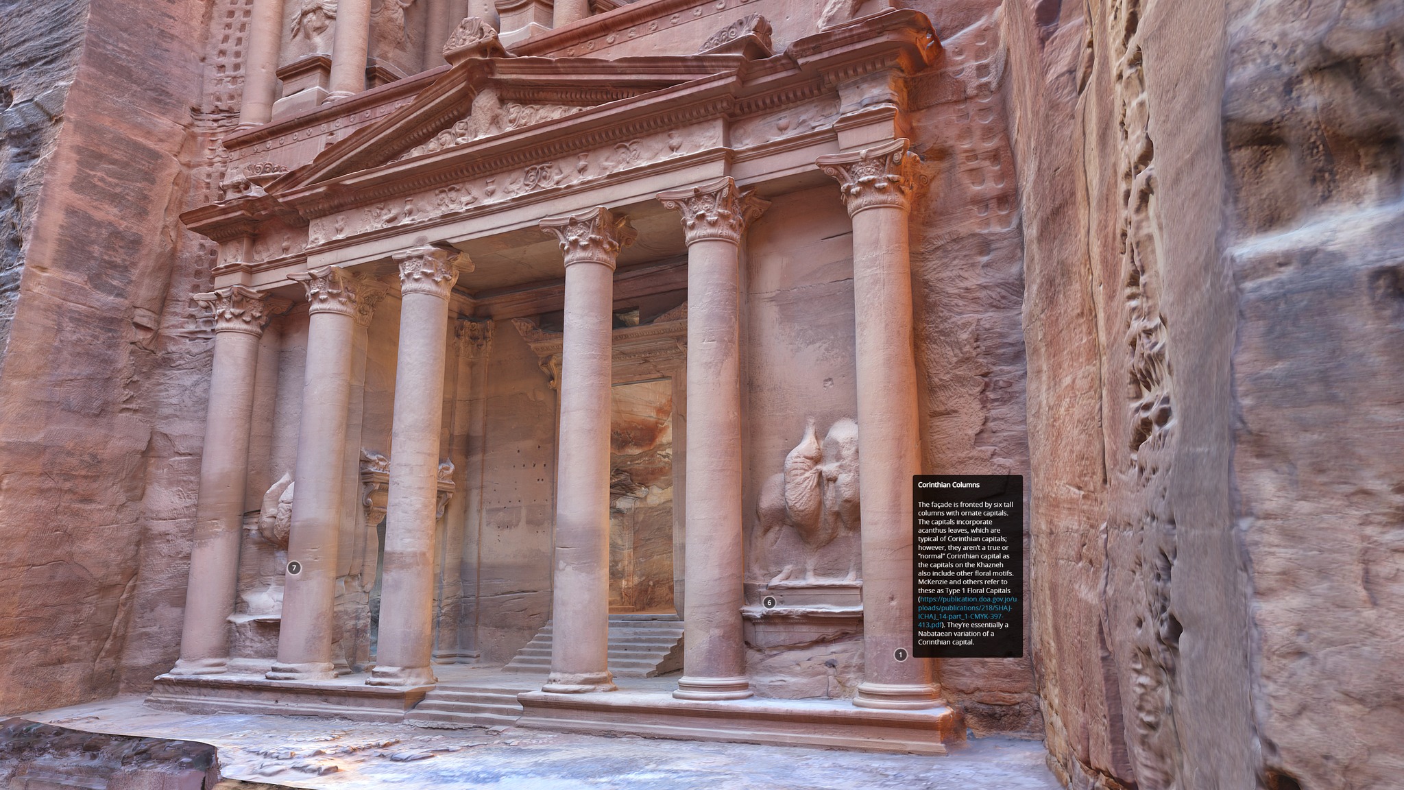
3D digital twin of Petra’s Treasury
Explore Al-Khazneh, Petra’s famed “Treasury”, in our new, fully navigable 3D model on Sketchfab.
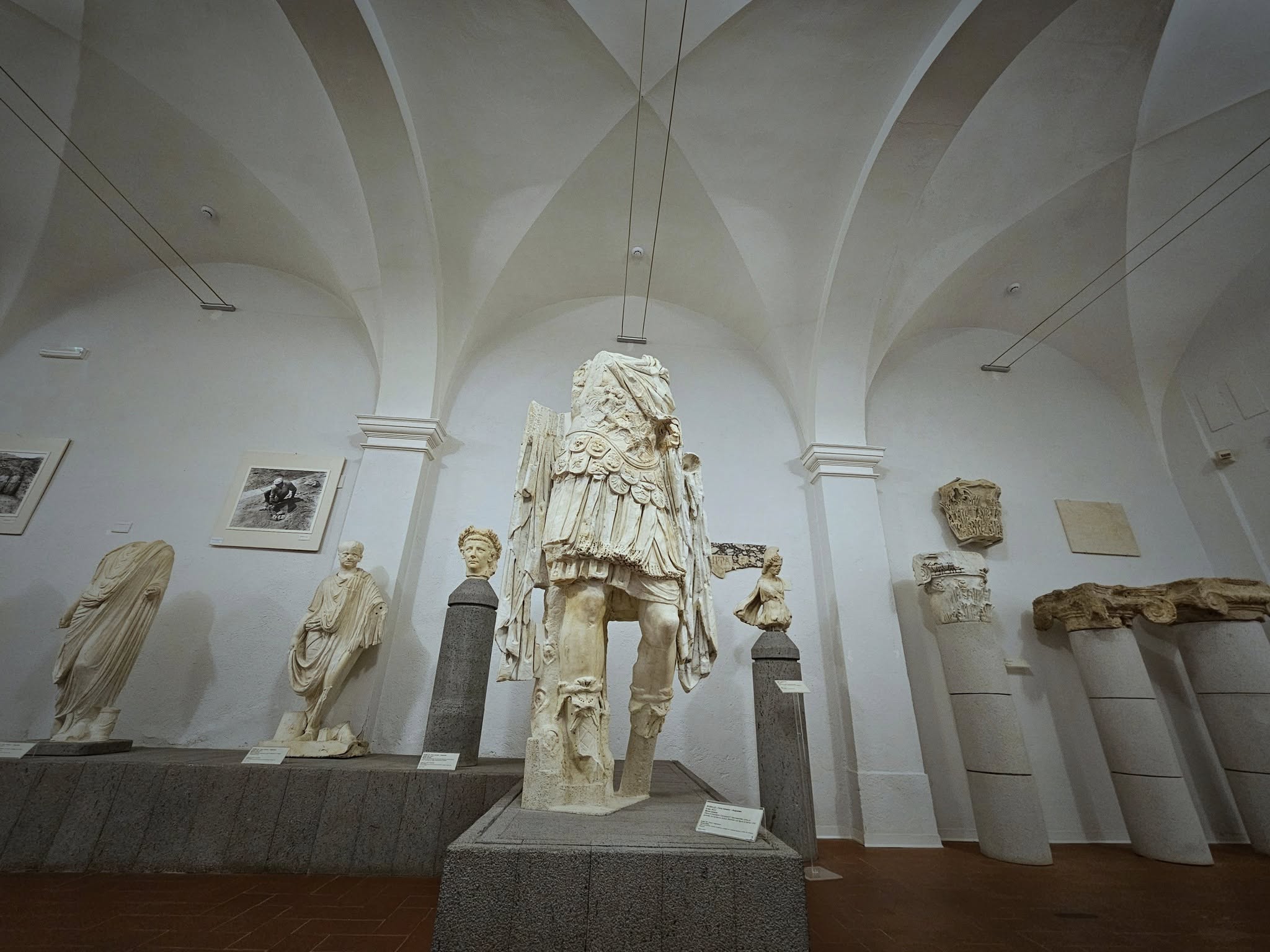
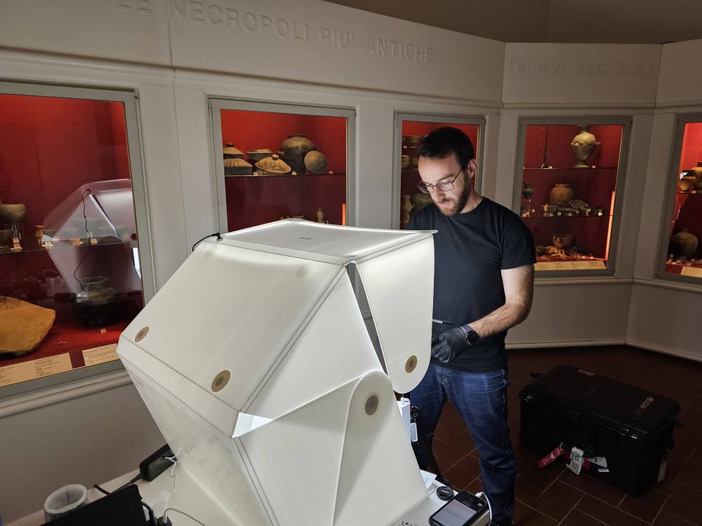
GDH starts 2025 with a new project in Italy. We have started a brand new collaboration with the Museo Archeologico e d’Arte della Maremma in Grosseto, province of Siena. A team of six GDH members has worked for a week at the museum to scan archaeological artifacts from the ancient city of Rusellae, near Grosseto.
The team, along with the invaluable work of the director and curators of the museum, has managed to scan a total of 500 objects from the etruscan and roman eras.
The work now continues at the GDH lab where the 3D data will be process and the new pieces will be made available for everyone interested.
15.11.2024
Quimbaya gold treasure now in 3D
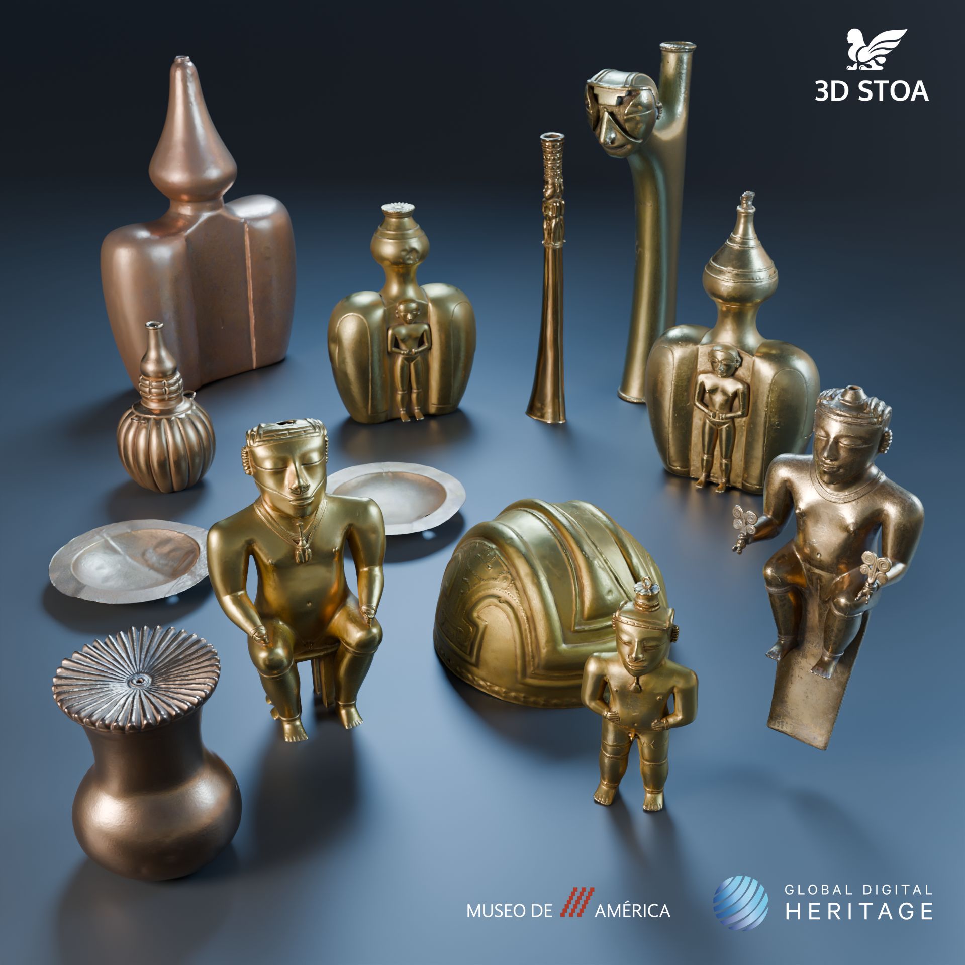
In the past months GDH has started a digitization project with the Museo de America in Madrid, Spain. We have now digitized around 200 objects from different cultures in America both precolumbine and from the colonial era.
The most impressive part of the project has been the digitization of 83 ceremonial pieces made of gold and tumbaga (an alloy of copper and gold) from the Quimbaya culture, discovered in modern day Colombia (and presented as a diplomatic gift from the government of Colombia to Spain in the 19th Century).
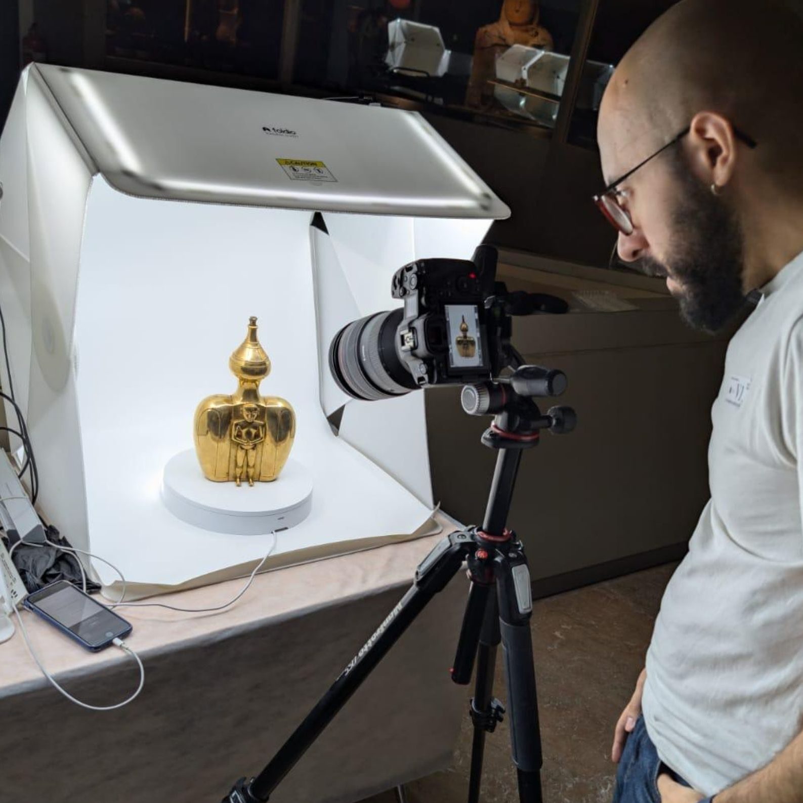
The high level of reflectivity and shine of the pieces has made this a challenge that the GDH team has been able to overcome with state of the art photogrammetric techniques. Thanks to the collaboration of GDH and the Museo de America, the collection is now online to explore. You can explore it here.
28.12.2024
Sharjah Archaeology Metaverse VR Center
December 28, 2024. Sharjah, UAE
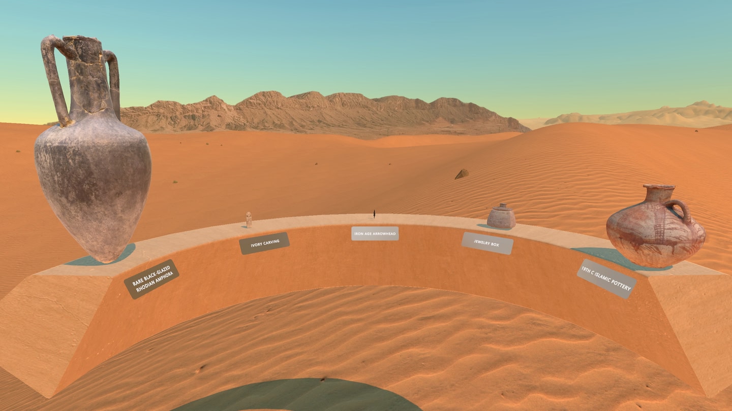
Now you can be an archaeologist in de arabian desert thanks to VR. We have just published a new inmersive VR experience for the Sharjah Archaeology Authority where you will be able to explore Sharjah’s archaeological treasures.
Explore the ancient tombs of the camel gravellard of Mleiha (the capital of the kingdom of Oman in antiquity), discover a treasure of hundreds of silver coins and behold at the stone carvings in the middle of the desert.
Now you can do this and much more thanks to our work in collaboration with developers 3D Stoa and Overlat.